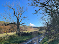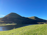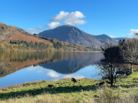


 A 10km circuit on a glorious November day.
Route: leaving the car in the substantial lay-by to the west end of Loweswater (by a former phone box) and heading west along the road, spurning the next right turn but taking an unsigned route through a gate and across a bridge in the direction of Graythwaite Farm but following the right of way left across damp grass and then right up to and through the farm before turning left to follow a path and then muddy track uphill (past a farmer erecting a fence, seemingly across the track and encouraging us to limbo under it!). Continuing at a walk more steeply uphill to reach the plateau and ignoring two routes to the left continuing slightly downhill (still very muddy) to reach the Mosser fell road. Turning right and ascending slightly before descending to the road along the northern shore of Loweswater and following this, slightly uphill to the turn for Maggie’s Bridge. Taking this to run down to the parking area and on along the obvious track along the south-west side of Loweswater (now diverted through the farmyard in the closing stages). Running along wide, clear, level paths through the trees along the south shore, with views across the lake to Darling Fell, eventually climbing to Hudson Place and running down the road towards Waterend and turning right on the shortcut footpath back to the initial lay-by.
Conditions: an initially frosty and then gloriously sunny day (though the low sun making photography difficult).
Pub: the Kirkstile Inn, Loweswater, for Cumbrian Ales Langdale.