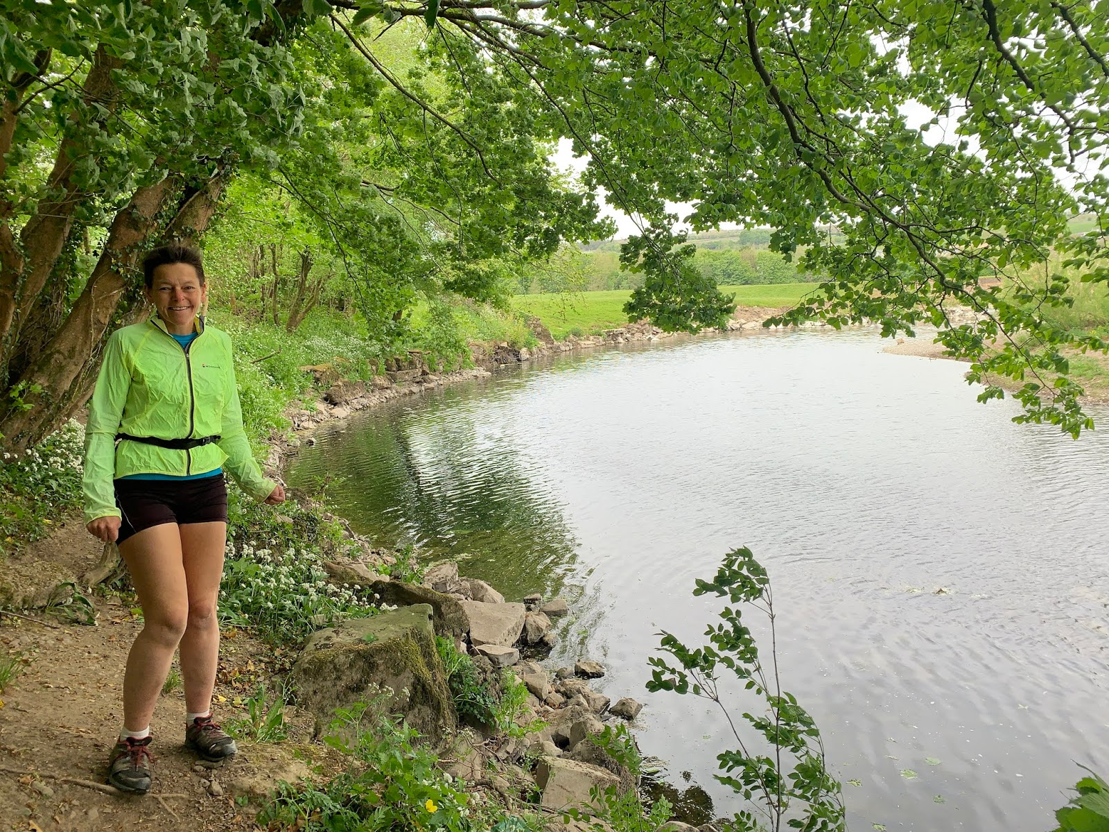
An early morning 10km run within Scout Scar, for the first time in ages.
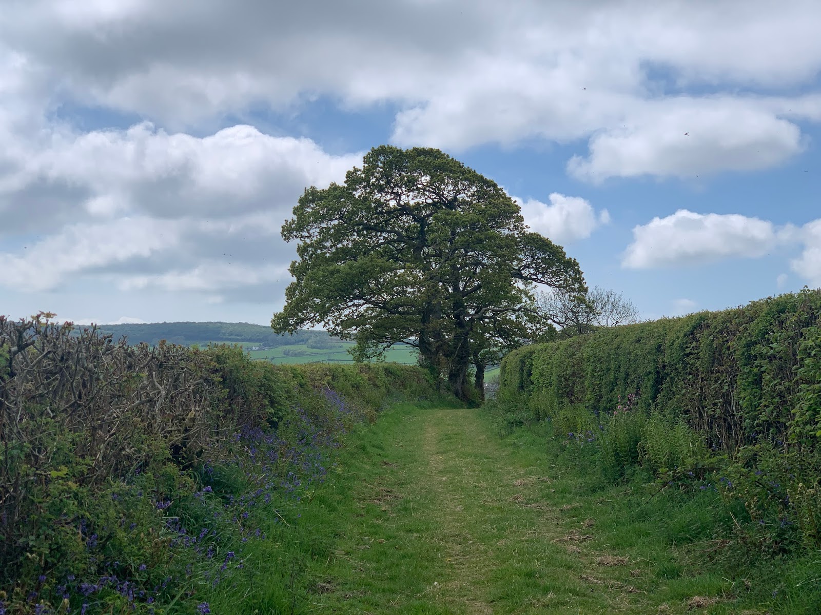
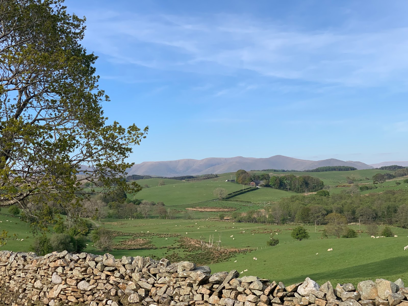
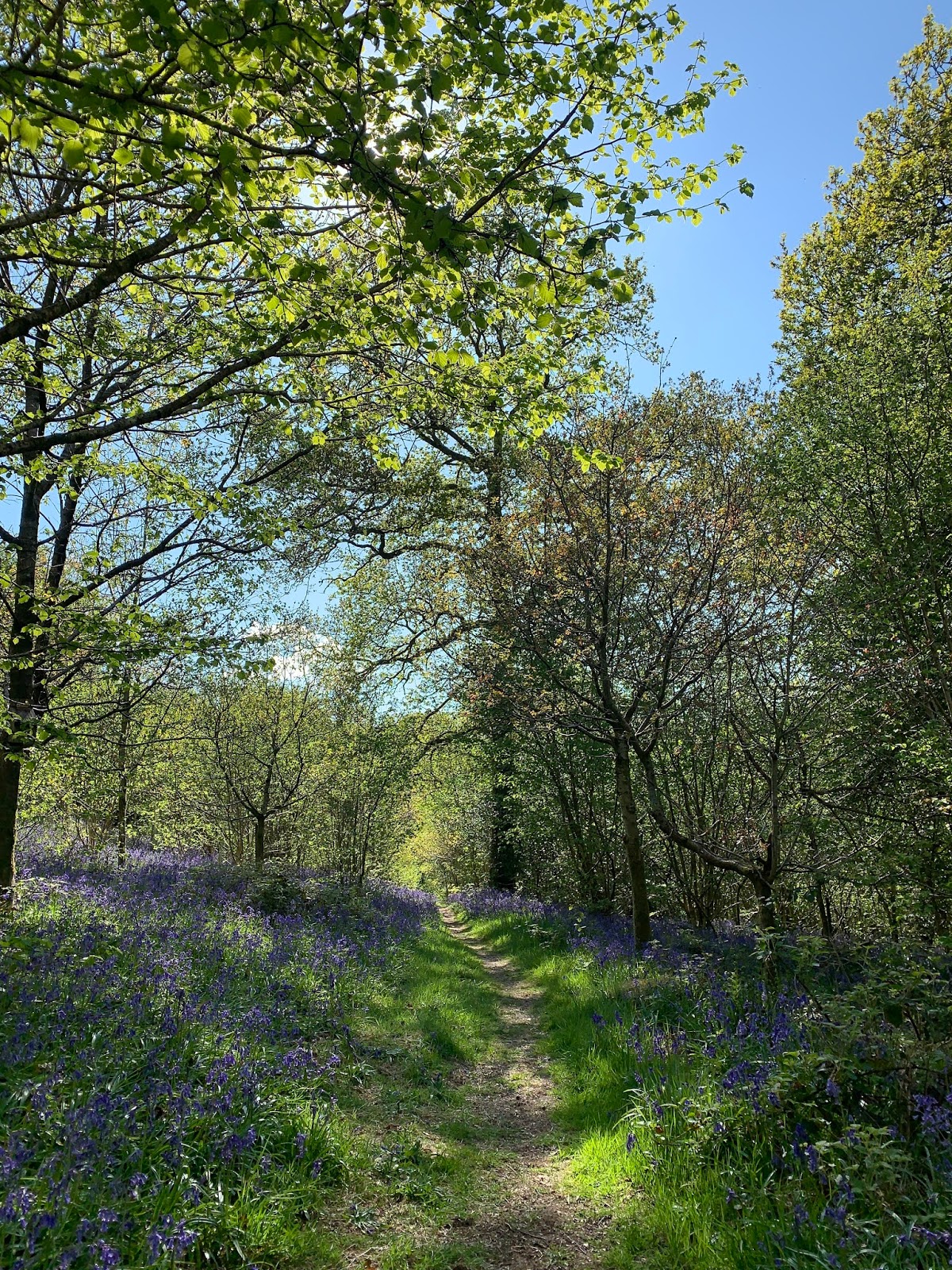
 Route: leaving the car at Helsington church at 8:20am (the on-road parking just before the turning already full) and running back along the road, entering the Scar and turning right roughly parallel to the Brigsteer Road to the Embankment and then following the middle contouring path with a view of the Wandering Cairn to the left before bending left uphill to reach the Gate-in-the-Corner. Descending parallel with the wall back towards the road and bending left and the rising again to the hand-gate on the main path. Following this path back towards the racecourse though, near the end, taking the little-used right-hand alternative to maintain C-19 social distancing. Recrossing the main path and following a path with the racecourse over a wall to the right to reach the other main ascent path and following this in the direction of the Mushroom. On reaching the summit plateau wall turning right along it to the end by the Underbarrow Road and then up the gravel track with views of Cunswick Scar at the top. Then back along the edge of the Scar, following the Green Track at the end, and then back along the road to the church.
 Conditions: hot and sunny even at 9am.
Pub? Well, C-19 conditions of course but 10am seemed too early to trouble the scorekeeper.