30 April 2021

La’al Ratty train ride and tiny Eskdale pootle

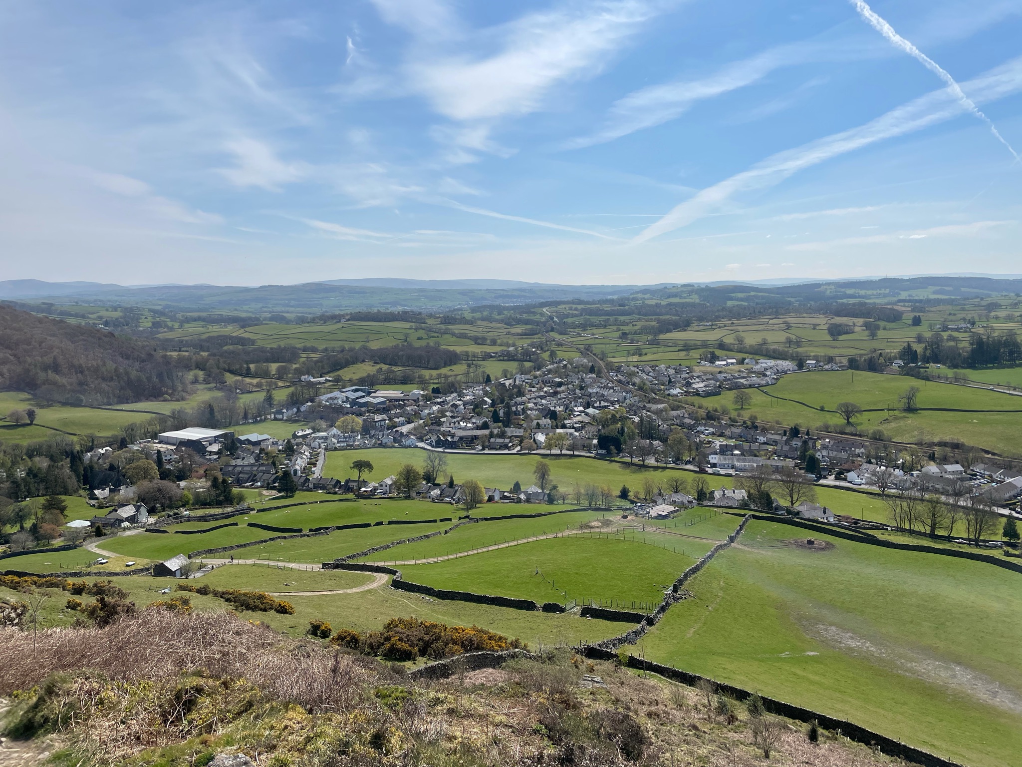
A train ride and tiny stroll made shorter by closed paths.

Route: Leaving the car at the station car park for La’al Ratty (£4 all day) and at 10:25am taking a semi-open carriage (£36 return for two) to Dalegarth (50 minutes at a stately pace). Leaving the station and quickly finding that the footpaths for the planned walk to Stanley Force had been closed since December 2020 so heading first to St Catherine’s Church and precariously crossing the stepping stones. After further fruitless reconnoitring, heading east on the south side of the river, stopping to look at a pond fringed with conifers and surrounded by Herdwick ewes and lambs, underneath Gate Crag, and then descending to Doctor’s Bridge. Here heading to the Woolpack Inn in faith (it had seemed closed form the web) for halves of Fyne beers. Then back to the bridge and along the north side of the river to the church and then to Brook House Inn for a pint as we waited for the 2:10pm train back.

Conditions: surprisingly warm in the sun but cold without it and a threat (and occasional spit) of rain.

Pubs: the Woolpack Inn for Fyne Ales Jarl and Avalanche. Brook House Inn for Cumbrian Legenadary Ales Loweswater Gold.

26 April 2021

Sizergh Castle, River Kent and the Heaves Hotel

A delightful post-work stroll catching up with Clare (Lois only)

Route: Setting out from 3, Woodside Cottages to walk down the road to the grounds of Sizergh Castle and there walking up the drive and looping back along the woodchip trail through the bluebells and back down to the entrance. Turning left this time to walk down Nannypie Lane to the river. Turning left at the river to walk along to the bouncy footbridge and crossing this to turn back right and follow the river back to the road bridge. Crossing the road bridge and turning left to follow the river down again and pass under the A591. From there following Force Lane back (between fields full of gangs of frisky evening lambs) to cross the A590 and walk back up past the Heaves Hotel to Woodside Cottages again.

Conditions: Overcast and getting cooler as time past, but dry

Pub?: Cycling straight back to Howe Bank Close for supper with (still-recuperating) T

25 April 2021

Black Crag, Hugill Fell and Reston Scar

A tiny walk on the way to a beer outside the Hawkshead Brewery.

Route: Parking in the Staveley Mill Yard and crossing the footbridge to head north to cross back on Barley Bridge and head north again on Kentmere Road for 1km. Turning left up a steep drive and then a footpath heading uphill to Black Crag. Continuing using planks to cross a bog and go through a gate to the summit of Hugill Fell. Turning southeast to head down into the new(ish) plantation and following the track through a gate  and up to the summit of Reston Scar. Descending on a new path on a ridge towards Staveley and then back along Brow Lane and School Lane to return to the Mill Yard.

Conditions: a warm sunny day.

Pub: the Hawkshead Brewery for outdoor pints of Windermere Pale and XPA and then joined, by coincidence, by Gloria and Paul.

23 April 2021

Reston Scar, Hugill Fell and Black Crag

A short walk to catch up with Anthea before a coffee at the Mill Yard

Route: Parking opposite Peter Hall on Danes Road and walking east to turn up Brow Lane soon forking left up to the open fellside. Walking across the field up to join the track rising from the east, then bending right (north) and heading through the high deer gate to follow paths leading west to the summit of Reston Scar. From the cairn turning northwest to head down into the new(ish) plantation and following the track looping left round it and then continuing on and over the summit of Hugill Fell. Then heading down east finally to take in Black Crag and carry on down to join Kentmere Road and follow it down to Barley Bridge. Crossing Barley Bridge to walk along the back road and along the river to the Mill Yard.

Conditions: Hot and sunny (15C by midday driving home) and pretty dry underfoot.

Pub? Before midday on a Friday (and no Tim) so... a latte in the sun outside More? 

21 April 2021

Mosser Fell Road to Sosgill and back over Fellbarrow

A 9.5-mile walk for Lois to enable the 20min run down from Sourfoot Fell to Thackthwaite.

Route: Leaving the cottage and walking down to Low Lorton along the road, via the shop, to cross the bridge and walk up right and left to the Mosser Fell Road. Walking along this for 3km (admiring the new Herdwick lambs to the right) to join the bridleway to Fellside Farm (climbing over two locked gates to do so). Following this rising gently south (through wet patches) to curve right and cross the bridge and follow the Cat Gill down on a track to Fellside Farm, and then a concreted access track from the farm down to Mosser Mains. Bending south and east with a minor road out of the hamlet to rise to the fell road and follow it a kilometre through Mossergate Farm and High Mosser to the track leading down left to Mosser Beck and, finally, into access land! Following this track and, mistakenly, taking a right fork to rise more gently along Fellbarrow's southern flank but, this running out at a fence, turning steeply up the fell to get above the fence and follow it to the corner stile from Fellbarrow summit. Following the summit ridge path over Smithy Fell and Sourfoot Fell, then taking a path contouring east under Loftbarrow to join the descent path from the Loftbarrow/Low Fell saddle. Then running down the track and subsequent paths all the way to the centre of Thackthwaite. Walking back along the road to Low Lorton and home to High Lorton via St Cuthbert's across the fields.

Conditions: Changeable from hot sun to cloudy with a chill wind, largely dry under foot.

Pub? G&T back at the cottage with Tim (taking the day off after a gruelling 3 days of activity)

20 April 2021

High Stanger Farm from Lorton

A short run for Lois, inspired by Steve G (last attempted in some form in September 2016 in 'drenching' conditions)

Route: leaving the cottage to run round the village, posting a card to Ted at LVS and carrying on down to Low Lorton and out to the footpath turning on the left just past the newest houses, signposted to Stanger. Starting out west and turning north west to run roughly parallel to the River Cocker, over dry, flat, furrowed terrain, as far as the hillock beside Stanger Spa. Here climbing a gate to turn left and run round the mound and back through another gate to pass the ruined 'Spa' building on the right. Then running on north to another gate/fence and up and over a little hill and down to the track leading to Stanger. Running between the houses there to emerge and take a footpath leading right off the road leading up to the main road. Going through a gate and then climbing the next one to run along a wide stony track east and north east (somehow missing the main bridleway but dropping down a slope to climb a gate to rejoin it) and out to the main Lorton-Cockermouth road. Running down this a few hundred yards to the footpath opposite the entrance to Shatton Lodge and running back down south across field (and, sadly, through a rather damp marshy area) to rejoin the outward route briefly and then turning immediately left after a gap in a substantial but precarious-looking wall fragment, to run due east out to the road again. Then following the road back to the cottage.

Conditions: warm and cloudy and sooo much drier under foot than the last time we tried it!

Pub: home for a cup of tea and a 0.5% Hawkshead Lighter Times in the garden with new owners of No 4, Ian and Jo (and Tim!).

Mini-pub crawl from Braithwaite to Swinside

A short stroll to support the local pubs without pushing Tim's post-breakdown limits.

Route: parking at the bottom of Whinlatter, across from Hope Memorial Camp, and walking down to cross the prayer-flagged bridge and cross Braithwaite village to walk out on the footpath skirting the perimeter of the camp site. Following the beck down to cross a little bridge and walk along through Little Braithwaite and down to the road bridge over Newlands Beck. Here hoping to turn right along the beckside path south down the valley but finding it closed 'due to serious erosion' carrying on along the road to the Swinside Inn. There enjoying fine pints of Theakston's Bitter and Deuchars IPA in tandem with a fine view of Barrow before heading down the road towards Stair, forking right on a track leading down to a short stretch of beckside path to a stone bridge. Crossing the bridge to walk up to Uzzicar and turn up right to the road to Newlands Pass, shortly afterwards forking left to track up through the gorse and bracken to the final shoulder of Barrow and on down to  Braithwaite Lodge. There turning left to head across fields to the river, dipping down into the dell and up to reach the minor road up to the reservoir. Here turning right to walk down to the pub.

Conditions
: some warm (nay, hot!) sun on the first leg of the walk, thereafter cloudy but still and not cold

Pub: at last, the Coledale Inn (garden only because of C19), for a pint of Tractor Shed Mowdy Pale and a soda water and lime.

18 April 2021

Cycle pootle to the Kirkstile Inn

A short trip during T’s CFS-like illness.

Route: leaving the cottage and cycling to the mid-Lorton crossroads, turning left for Hopebeck rising gently and then descending to the main road. Turning left towards Buttermere to turn right and look at the recently-for-sale Turner Howe Farm. Turning left past Scale Hill to follow the more minor roads to the south of the direct route to reach the Kirkstile Inn over the bridge. Returning via the Thackthwaite road.

Conditions: mild and cloudy with occasional light breeze.

Pub: the busy (before noon) garden of the Kirkstile Inn (because of C19) for Cumbrian Legendary Ales’ Loweswater Gold and a shared, rather modest portion of fish and chips (£12 as usual) from a box.

10 April 2021

Brackenthwaite Hows saunter

A very gentle aimless 6km saunter pausing to look at, and listen to, Nature. 

Route: leaving the car at the Lanthwaite Wood National Trust car park and walking up Robin’s Steps towards the summit of Brackenthwaite Hows but taking, for the first time, a path to the right underneath it. then turning left up to the summit and wandering pathless east but doubling back on a faint path through gorse, disturbing a pair of deer as we did so. Descending to Lanthwaite Wood and continuing round to near the Boat House and thence to the weir. To the pump house and along Park Bridge, detouring up a little mound south of the Beck to sit on an impressive rock. Then by quiet road to Muncaster House and back to the pump house and back to the car along the river.

Conditions: Again cold air but warm in the bright sun and still conditions. 

Pub: Bottles of Cumbrian Legendary Ales Loweswater Gold and Thornebridge Big Easy at the cottage.

9 April 2021

Rannerdale Knotts

A very slow 7km ascent with much resting and groaning from T, part way through his recuperation.

Route: from the National Trust car park (free for members) heading on the lower of two obvious paths uphill and then bending left to pass Grassgarth Coppice on a scratchy-dead-bracken-riddled path, slowly descending to meet the path climbing to the low shoulder under Rannerdale Knotts. Taking a steeper shortcut diagonal path to reach the main, sometimes stepped, path to the summit. Then descending the ridge to the saddle. Here heading off paths to find a shortcut to the outward path above Grassgarth Coppice and finding merely very sketchy sheep tracks. Eventually descending to the lake shore to follow the normal path back to Syke Farm Campsite but keeping to the lakeshore to circumnavigate Nether How, enter the village and source pies at the Syke Farm Tea Room and then back to the car.

Conditions: Although a cool air temperature (~5C) warm in the bright sun and absence of breeze.

Pub? Bottled Coniston Infinity IPA and Sainsbury's low alcohol Apple Cider at the cottage.

4 April 2021

Whiteside Pike

A tiny 5km stroll on Easter Day as part of T’s recuperation.

Route: leaving the car on the dead-end tarmaced road to Plough Farm off the A6 and parking where work on bridge repairs had made space for 2-3 cars (at least while building work was not taking place). Heading along the road to Mosergh Farm, turning right onto the footpath on a track heading north. Keeping straight where the map shows the path turning left to a complicated sheep fold/set of gates to enter Right to Roam land. Following a fairly obvious path tending towards the visible summit but then bending round it to the west/left to reach the summit. Then along the higher ground to the east, over various intriguing outcrops and hillocks towards, but not reaching, a cairn over the wall. Then picking a route back to the sheepfold and hence the outward route.

Conditions: 10C, warm in the sun but cool when it clouded over or the wind got up.

Pub? C19 so bottled Greene King Abbot Ale and Appleby Brewery Senior Moment at home.