A nearly 20km
walk/run in snow on the first day that the Keswick Railway Path officially opened.
 Route
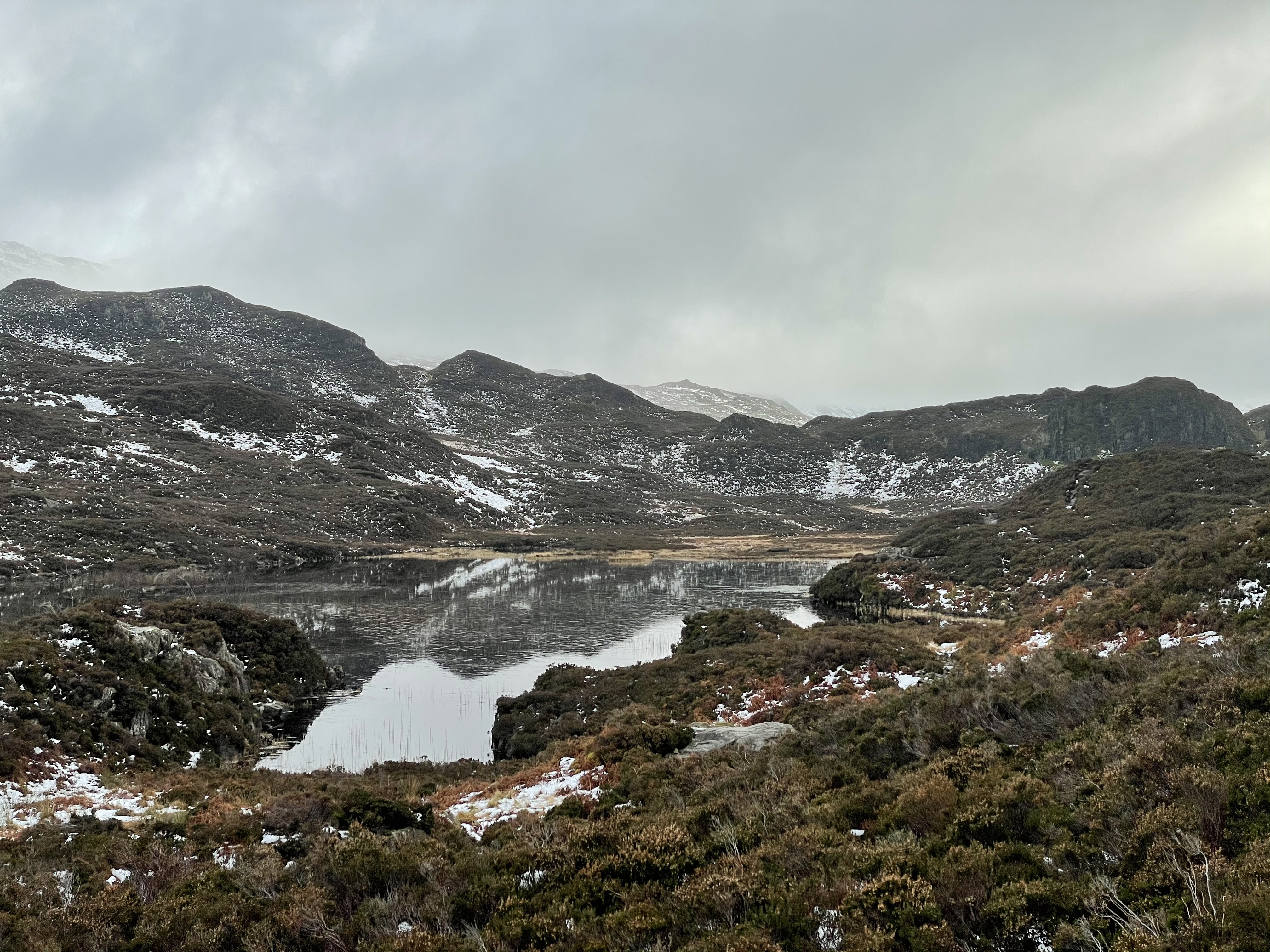
Route: leaving the car in the B&B quarter of Keswick and running along Grizedale Close to Springs Road and along this bending left onto a stony track gaining height parallel to a stream, crossing it left to gain the road and then back at Rakefoot, climbing onto open fellside before taking a gate to the wooded path to Walla Crag. Then across boggy ground, partially improved by a Fix the Fells alluvial subsoil path and then on frozen snow steeply up to the summit of Bleaberry Fell. Continuing first south and then east in deep snow (occasionally sinking to our thighs) and descending just to the left of a stream. Then bending a little north to descend a grassy though stony shelf, finally descending very steeply and wetly to reach a T-junction of walls (where the promised sheepfold did not seem to be, this having always been the grey area of the route. Passing through a hand gate ('No access to Helvellyn') to continue on a welcoming path (finally!), unfortunately uphill of the wall below which the Wainwright route goes (to which no access seemed possible). A bit further on, tracking down the slope to follow the wall and then finding a section already-collapsed and so, without much guilt, popping through and making rather a clumsy business of passing Snipeshow Tarn and even descending Snipes How. Finally gaining the bridleway at ground level and thus the A591, having picked our way to this point painstakingly almost all the way down from the summit. (But made WELL worth it by the sighting of a small posse of magnificent deer at various points, making quick work of the same terrain - and bounding over high walls - whenever we disturbed them.)
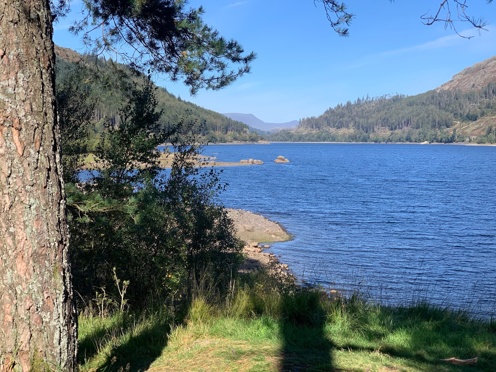
Turning right on the road to Dale Bottom, then left on a path through a small caravan site, across a path crossroads, then next right to cross fields to climb to the saddle between High and Low Rigg. Visiting St John's-in-the-Vale church and then turning left opposite to traverse Low Rigg and descend to Tewet Tarn whose perfect reflection of the snow on the hills across had caused an optical confusion. Right along the B road to find a path in woods to the Keswick Railway Path and joining crowds of walkers, runners, skateboarders and cyclists along this back to Keswick, leaving before the end to return to the car.

Conditions: a cold but brilliantly sunny day. Much of the day with extremely wet feet.
Pub? Back to the cottage for tea and shop-bought cheese scones and later the residue of the previous night’s Zoom CAMRA Roger Protz beer tasting beers (Shepherd Neame IPA, Adnams Tally-Ho, Traquair House Ale, Robinsons Old Tom) while talking to Paul and Katya.
 A 9km walk at the end of the afternoon of New Year's Eve, arriving home across muddy fields in the dark.
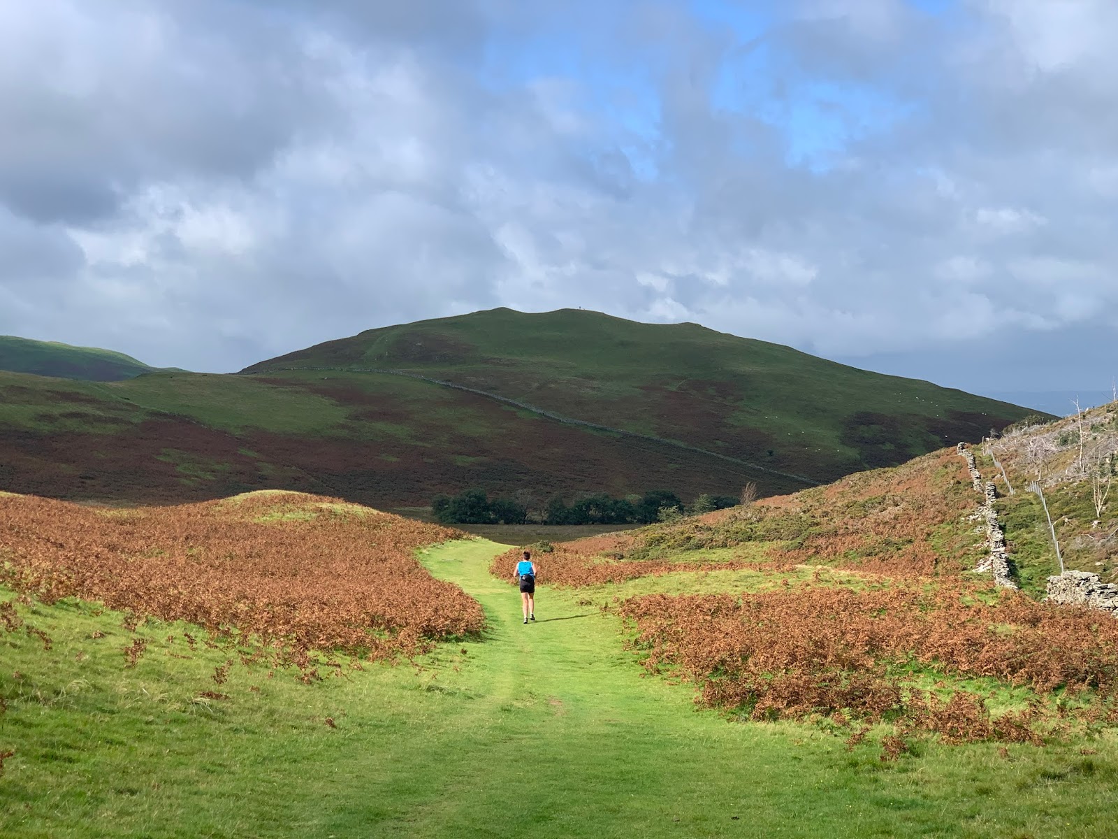
 Route: leaving the cottage and walking to Boonbeck and up the road to take the track from Scales to High Swinside Farm. Turning diagonally uphill to cross the road and take an obvious track north east towards a wall. Here walking steeply uphill reaching a snowline. Once the hill eased walking between the wall and a fence, crossing the fence to climb onto an obvious subsidiary ridge and following this round to a tiny but marked cairn. Heading further along the ridge and descending to the east to find the main ridge path and following this back down to the road. Heading back down the road to cross the outward route to Hopebeck and taking the path across fields to Low Swinside and increasing darkness to Boonbeck and home.
  Conditions: cold and frosty with snow on the hills.